DJI Zenmuse L3 LiDAR
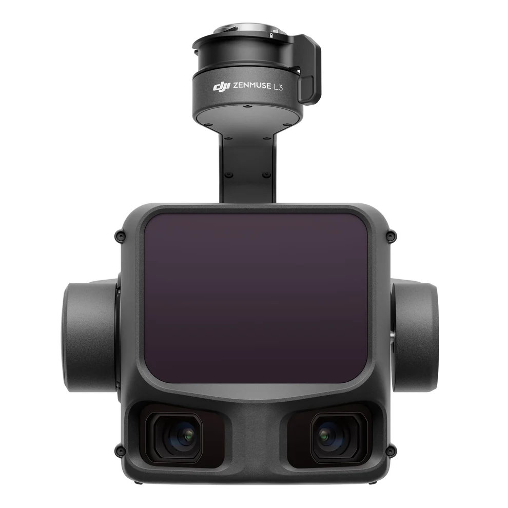
DJI Zenmuse L3 is a professional long-range aerial LiDAR payload designed for surveying, mapping, forestry and high-accuracy 3D reconstruction.
1535nm Long-Range LiDAR
The advanced LiDAR system provides long-range detection with high accuracy and supports up to 16 returns for detailed terrain data collection.
Dual 100MP Mapping Cameras
Dual 4/3 CMOS 100MP RGB cameras provide a wide 107° combined horizontal field of view for efficient mapping and photogrammetry.
High Mapping Accuracy
Zenmuse L3 delivers centimeter-level point cloud accuracy for professional surveying and geospatial applications.
High-Efficiency Mapping
When paired with DJI Matrice 400, Zenmuse L3 can cover large areas efficiently while collecting LiDAR and RGB data in a single flight.
DJI Matrice 400 Compatible
Zenmuse L3 integrates with DJI Matrice 400, DJI Pilot 2 and DJI Terra for a complete professional mapping workflow.
DJI Zenmuse L3 Price in Bangladesh
Buy DJI Zenmuse L3 from Drone World BD. Contact us for latest price, stock, warranty and package information.